Humarock, the most flood-exposed stretch of Scituate's coast, isn't selling at a discount right now. It's selling faster than the rest of town. In September 2026, Scituate's median list price stood at $1.22 million, down 7 percent from a year earlier, with homes taking a median 44 days to find a buyer. Over the same period, Humarock's average sale price has run near $1.09 million, up 7 percent year over year, and recent snapshots put its days on market anywhere from 23 to 37 days. Depending on which number you pull, Humarock is either matching or beating a town-wide market that's cooling.
That's backward from what most buyers expect. A barrier beach that was physically cut off from the mainland by a storm should trade at a discount to reflect the added risk. It isn't. The discount didn't disappear. It moved into a line item that never shows up on a listing sheet.
Four Cliffs, Not One Coastline
Scituate's waterfront gets marketed as a single idea, but the geography splits into four distinct historic communities, each named for a bluff along the harbor coast: First Cliff, Second Cliff, Third Cliff, and Fourth Cliff, the last of which is better known today as Humarock.
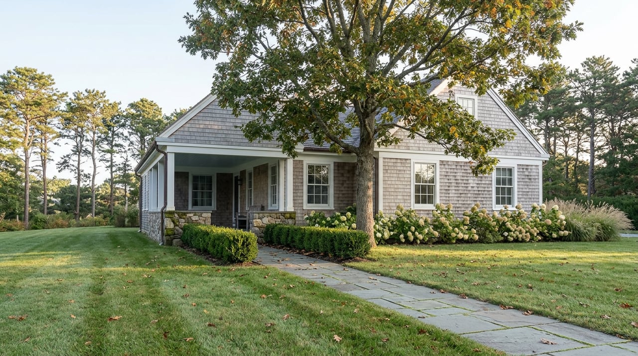
First Cliff sits at the northern end of Edward Foster Road, past the Scituate Maritime Center, where oceanfront estates mix with more traditional colonials owned by a combination of year-round and part-time residents. Second Cliff sits north of Third Cliff along the harbor, a short walk from Peggotty Beach and about two miles from the Greenbush commuter rail station. Third Cliff carries its own layer of local history: the Rivermoor enclave on its southern end began as a 1906 summer colony developed by George Welch, whose family home eventually became what's now the Scituate Country Club.
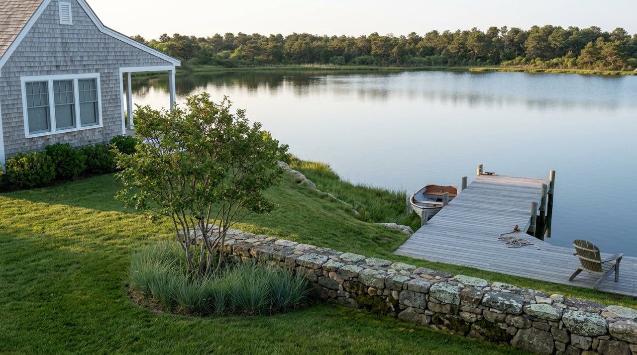
Fourth Cliff is where the geography stops behaving like the rest of the list. The Portland Gale of 1898 shifted the South River enough to sever what had been a land connection between Fourth Cliff and the rest of Scituate. Today, Humarock is reached by two bridges, and its shoreline sits low against the South River and the open Atlantic rather than up on a bluff.
That's the physical difference. What it means for a buyer's carrying cost is where the story turns.
| Area | Position | Local Detail | Flood Exposure |
|---|---|---|---|
| First Cliff | Northern bluff, past the Scituate Maritime Center | Oceanfront estates and traditional colonials, mixed year-round and seasonal ownership | Elevated bluff frontage on the harbor and Atlantic |
| Second Cliff | North of Third Cliff, along the harbor | Near Peggotty Beach, about two miles from Greenbush commuter rail | Elevated bluff frontage |
| Third Cliff | Southern harbor bluff | Rivermoor, a 1906 summer colony founded by George Welch, tied to today's Scituate Country Club | Elevated bluff frontage |
| Fourth Cliff / Humarock | Barrier peninsula, reached by two bridges | Severed from the mainland by the Portland Gale of 1898; South River frontage, including the Village at South River townhomes | Low-lying barrier beach, largely Zone AE and VE |
The rightmost column is the one that actually determines a buyer's ongoing cost, and it has almost nothing to do with which cliff a listing sits on.
Where the Discount Actually Went
FEMA overhauled National Flood Insurance Program pricing under a system called Risk Rating 2.0 starting in October 2021, and it changed the entire logic of coastal underwriting. The old system rated a zone. The new one rates a house: its replacement cost, its foundation type, its elevation relative to a calculated Base Flood Elevation, and its literal distance to water. Two homes on the same street, even two homes in the same zone, can carry premiums that look nothing alike.
For Zone AE, the moderate-to-high-risk designation covering much of Scituate's Special Flood Hazard Area, typical NFIP premiums run $1,500 to $3,000 a year. Zone VE, the designation for coastal areas exposed to wave action rather than just rising water, carries the highest premiums in the program, covers wave damage, and excludes erosion. Humarock's exposed Atlantic-facing shoreline is the part of Scituate most likely to sit in VE.
The federal program also caps what it will pay. NFIP building coverage tops out at $250,000, with contents capped at $100,000. On a house selling for over a million dollars, that cap covers a fraction of what it would actually cost to rebuild. The gap between the federal limit and real replacement cost gets filled by excess or private flood coverage, priced individually, with no ceiling protecting a buyer from what that gap costs.
Plymouth County participates in FEMA's Community Rating System, which can knock a discount off NFIP premiums depending on a property's zip code, and a homeowner whose elevation is mismarked on FEMA's estimate can sometimes lower a premium meaningfully just by filing an elevation certificate. Both levers exist. Neither is visible in a listing price, a comparable sales report, or a town median.
Why the Bluffs Don't Price the Same Way Either
The three mainland cliffs aren't immune from this, they just distribute the risk differently. First, Second, and Third Cliff sit at elevation, on the actual bluff, which changes a house's position relative to Base Flood Elevation even within homes that share a street or a zip code. A house forty feet up the bluff on Second Cliff and a house closer to the tideline on the same street can generate different premiums under Risk Rating 2.0's individualized model, before Humarock even enters the comparison.
Scituate's own housing data reflects the same split geography. The town's multi-family stock, including its condominiums, clusters almost entirely around Scituate Harbor and the North River, the two waterways where flood-adjacent underwriting gets sharpest. A townhouse in the Village at South River complex in Humarock and a colonial thirty feet above the harbor on Third Cliff can list at similar prices and still generate very different annual carrying costs once the flood policy comes back from underwriting.
What This Means Before You Write an Offer
Pull the seller's actual NFIP declarations page and current flood zone designation before comparing two Scituate waterfront listings on price alone. A $1.1 million house on Humarock and a $1.1 million house on First Cliff are not the same product once you account for what each one costs to insure every year going forward, and that difference will not show up anywhere except in that document.
If a seller can't produce a current declarations page, take the exact address and use FEMA's Flood Map Service Center to check the zone and Base Flood Elevation directly. An outdated or estimated elevation on file with FEMA is one of the few places a buyer can actually change the number after closing rather than before.
FAQ
Does every waterfront home in Scituate require flood insurance? Only if it sits in a FEMA-designated Special Flood Hazard Area, zones like AE or VE, and carries a mortgage from a federally regulated or federally insured lender. Outside those zones it isn't legally required, though a meaningful share of NFIP claims nationally come from homes outside high-risk zones, which is part of why some owners on the bluffs carry it voluntarily.
Does a lower flood zone rating mean a lower purchase price? Not necessarily, and Risk Rating 2.0 is the reason. Zone alone stopped being the whole story once FEMA moved to individualized underwriting in 2021. Two houses in the same zone, even on the same street, can carry completely different premiums based on elevation, foundation, and distance to water, which means sale price and insurance cost don't move together the way they did under the old zone-based system.
Why does Humarock keep selling quickly despite the flood exposure? The listing data shows demand for Humarock's river and beach access outpacing the discount a flood zone would traditionally command. That's exactly why the real cost of the exposure shows up later, in an individually underwritten insurance premium, rather than upfront in a lower purchase price.
If you're weighing a listing on Humarock against one on First or Third Cliff and want the real math behind the flood zone before you write an offer, reach out to Matthew Winterle.